Caroline Williams
Hello! Welcome to my portfolio. I enjoy all things GIS, remote sensing, and earth science. This portfolio features my professional work and experiences.
Hello! Welcome to my portfolio. I enjoy all things GIS, remote sensing, and earth science. This portfolio features my professional work and experiences.

Hi! My name is Caroline Williams, and I am a GIS and Remote Sensing Analyst currently working as Physical Climate Risk Research Assistant at Woodwell Climate Research Center. I enjoy all things relating to environmental science and using technology to better understand our planet.

Hi! My name is Caroline Williams, and I am a GIS and Remote Sensing Analyst currently working as Physical Climate Risk Research Assistant at Woodwell Climate Research Center. I enjoy all things relating to environmental science and using technology to better understand our planet.
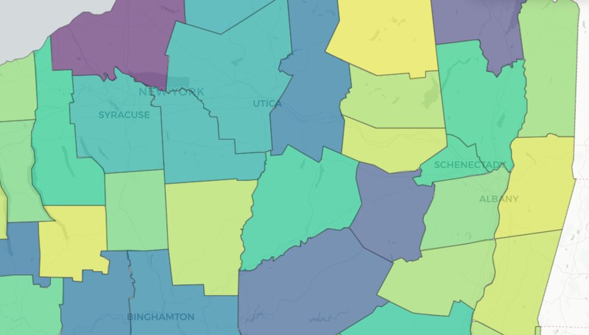
Through my recent role as Fellow for NASA DEVELOP's Pop-Up Project Locations, I oversaw projects across the United States appling Earth observations to real-world issues. Projects include: UHEAT Urban Development, Mexico Disasters, Maipo River Valley Agriculture, Chesapeake Bay Water Resources, Shoshone River Water Resources I & II, Southeast US Climate, InVEST Urban Development, Kankakee Water Resources, and New York Ecological Conservation.
In this NASA Applied Remote Sensing Training (ARSET) webinar, I contributed as a guest speaker providing a case study example of utilizing NASA SERVIR's HYDRAFloods tool in Python to detect flooding. Citation: (2022). ARSET - Monitoring and Modeling Floods using Earth Observations. NASA Applied Remote Sensing Training Program (ARSET).
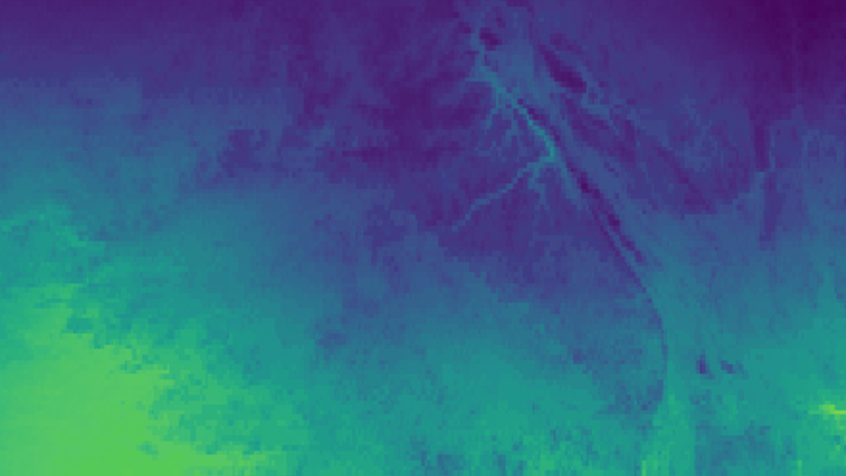
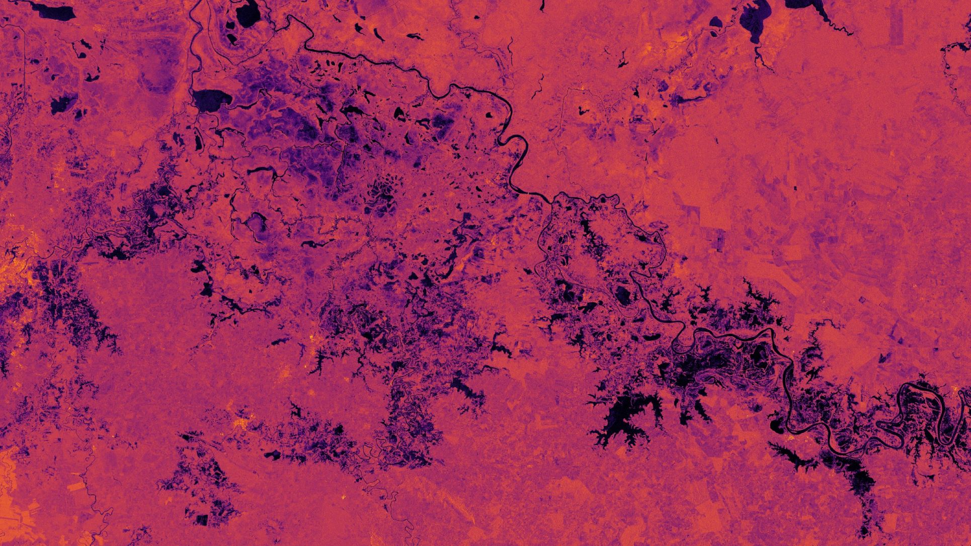
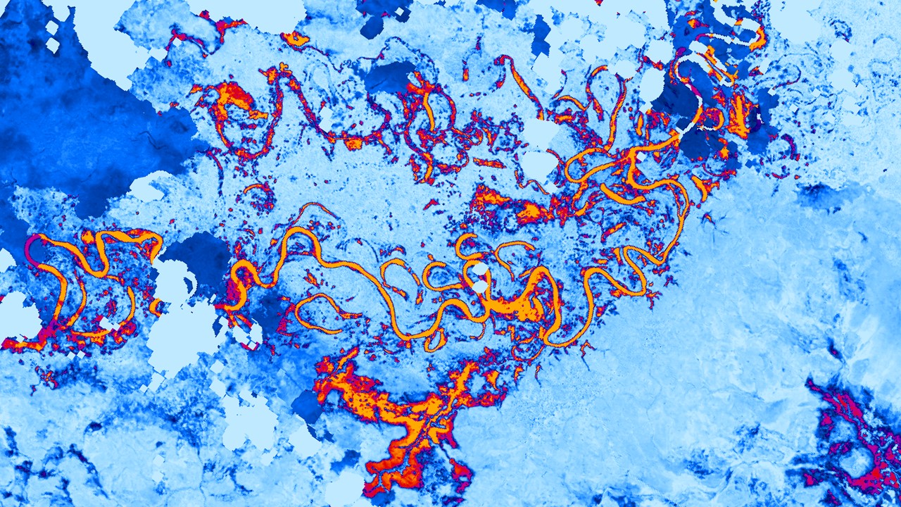
This NASA DEVELOP Fall 2021 project, generated flood extent maps for Hurricanes Eta and Iota, produced hsitorical surface water maps, and examined precipitation trends during the two case study events. This analysis was conducted using NASA SERVIR's HYDRAFloods tool using Google Colab and the Google Earth Engine Python API.
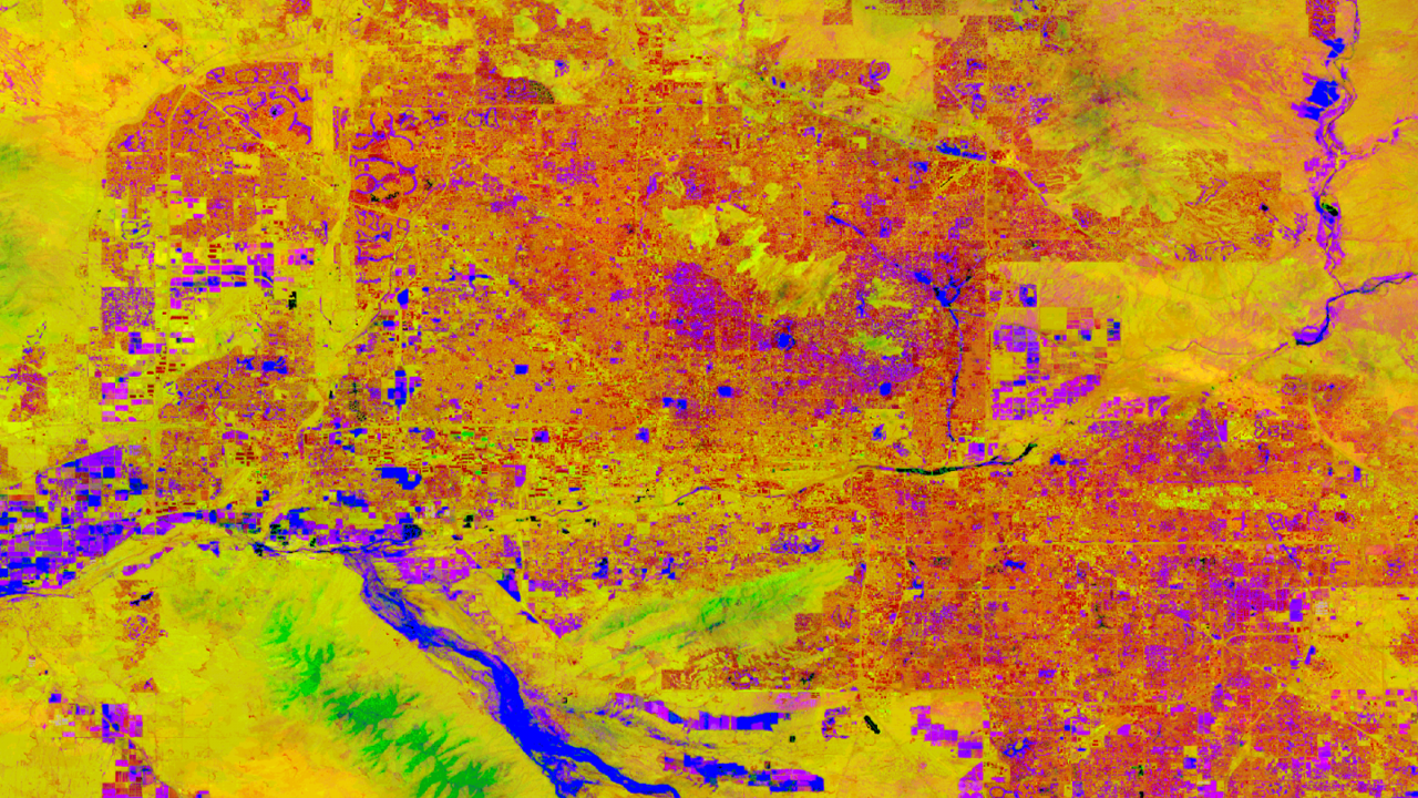
This NASA DEVELOP Summer 2021 project, utilized the Google Earth Engine JavaScript API to create a crop monitoring forecasting tool in Argentina. These scripts utilize Terra MODIS NDVI imagery to forecast NDVI from weeks to several months. This forecasted NDVI is then used to calculate predicted crop yield for the area of interest. Supplementary to the forecasting model, the tool also looks at climate and environmental trends in the study area like soil moisture, temperature, and precipitation.

Please feel free to contact me at my email address or through my LinkedIn Account below.