Web Mapping Final Project USAID Prototype
Using Mapbox GL JS to Create a USAID Interactive Web Map
Team Members:
Rachel Corcoran-Adams
Julia Dowling
Garren Kalter
Claire Morehouse
Caroline Williams
Professor:
Shadrock Roberts
Affiliation:
Clark University
Course:
IDCE 30262: Web Mapping and Open Source GIS
Team Members:
Rachel Corcoran-Adams
Julia Dowling
Garren Kalter
Claire Morehouse
Caroline Williams
Professor:
Shadrock Roberts
Affiliation:
Clark University
Course:
IDCE 30262: Web Mapping and Open Source GIS
Project Description:
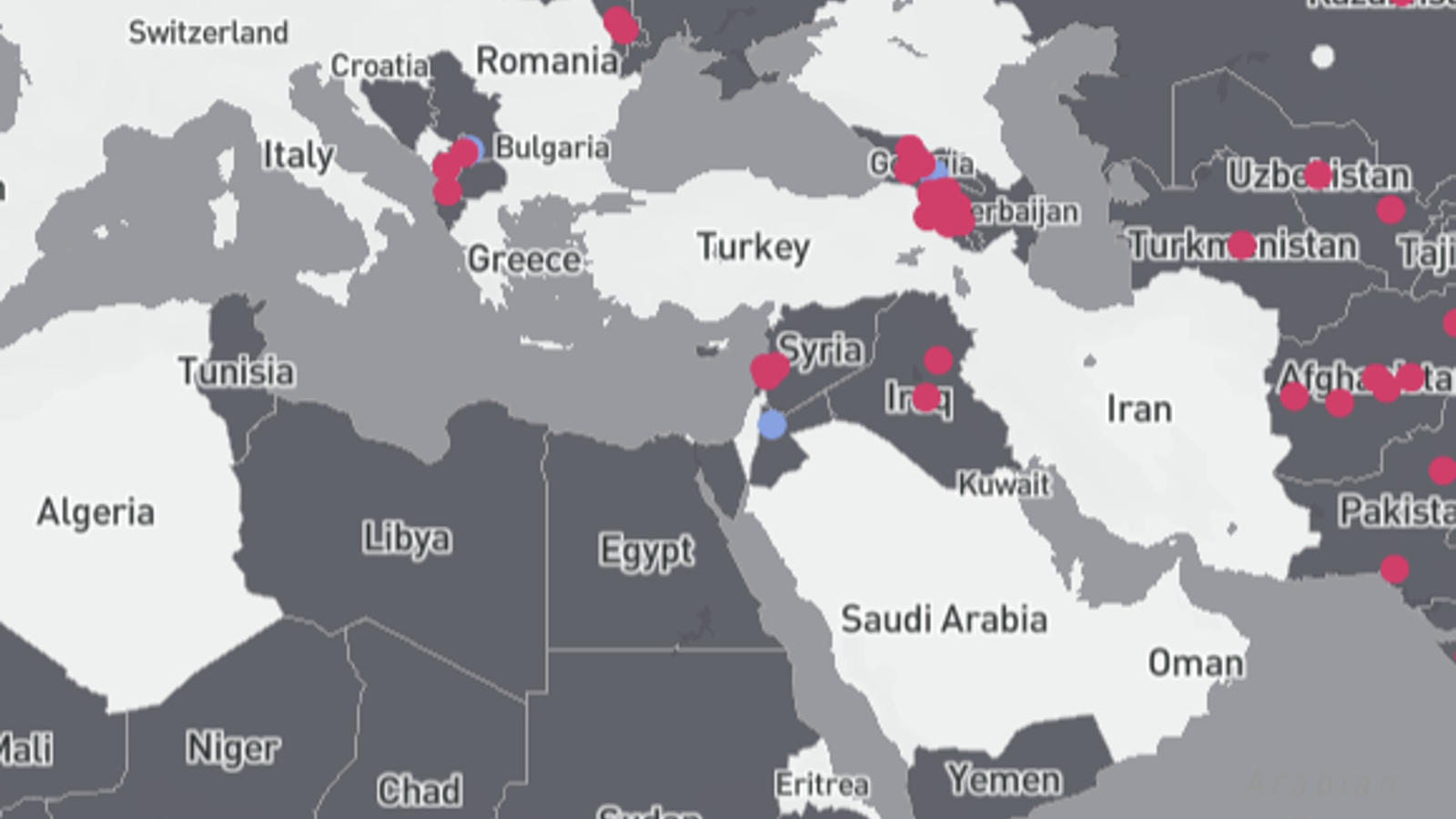
For my final project in Web Mapping and Open Source GIS, we worked in teams with the perspective that we were working with an organization and needed to generate various web mapping products for them. My team was assigned USAID and delegated tasks so 1-2 members were contributing to an interactive web map. My contribution to the project centered on creating an updated “Where We Work” map for USAID that would in theory help users navigate the organization’s efforts across the world (activity) and outcomes (stories). In generating this map as a component of our final project, I used Mapbox GL JS and Mapbox Studio to write the code and design customized basemaps. The user can hover over the map seeing where USAID works. Additionally, the user can toggle between the activity and stories layers. If a user clicks on these points, a pop-up will appear showing detailed information on the location of interest pertaining to the activity or stories generated by USAID. As a prototype, it is important to note that some of the information shown is not fully accurate. The goal of the project was to design these web maps with creativity and user functionality and mind with less focus on the accuracy since some data from our assigned organizations were not fully available. For instance, the location of the activity and story points in the map are not true locations since the geographic information was not published. However, the pop-up contents are based on actual USAID data and cited within the web map. Lastly, this map is unofficial and is not affiliated with USAID as this was an assigned final course project while pursuing my graduate degree in GIS.
USAID Prototype Interactive Web Map and Repository
Please feel free to contact me through my LinkedIn Account below.