Clark Labs Pond Aquaculture and Mangrove Land Cover Classification
Classifying Pond Aquaculture and Mangrove Land Cover using TerrSet
Supervisor:
James Toledano
Affiliation:
Clark Labs, Clark University
Partners:
Gordon and Betty Moore Foundation
Supervisor:
James Toledano
Affiliation:
Clark Labs, Clark University
Partners:
Gordon and Betty Moore Foundation
Project Description:
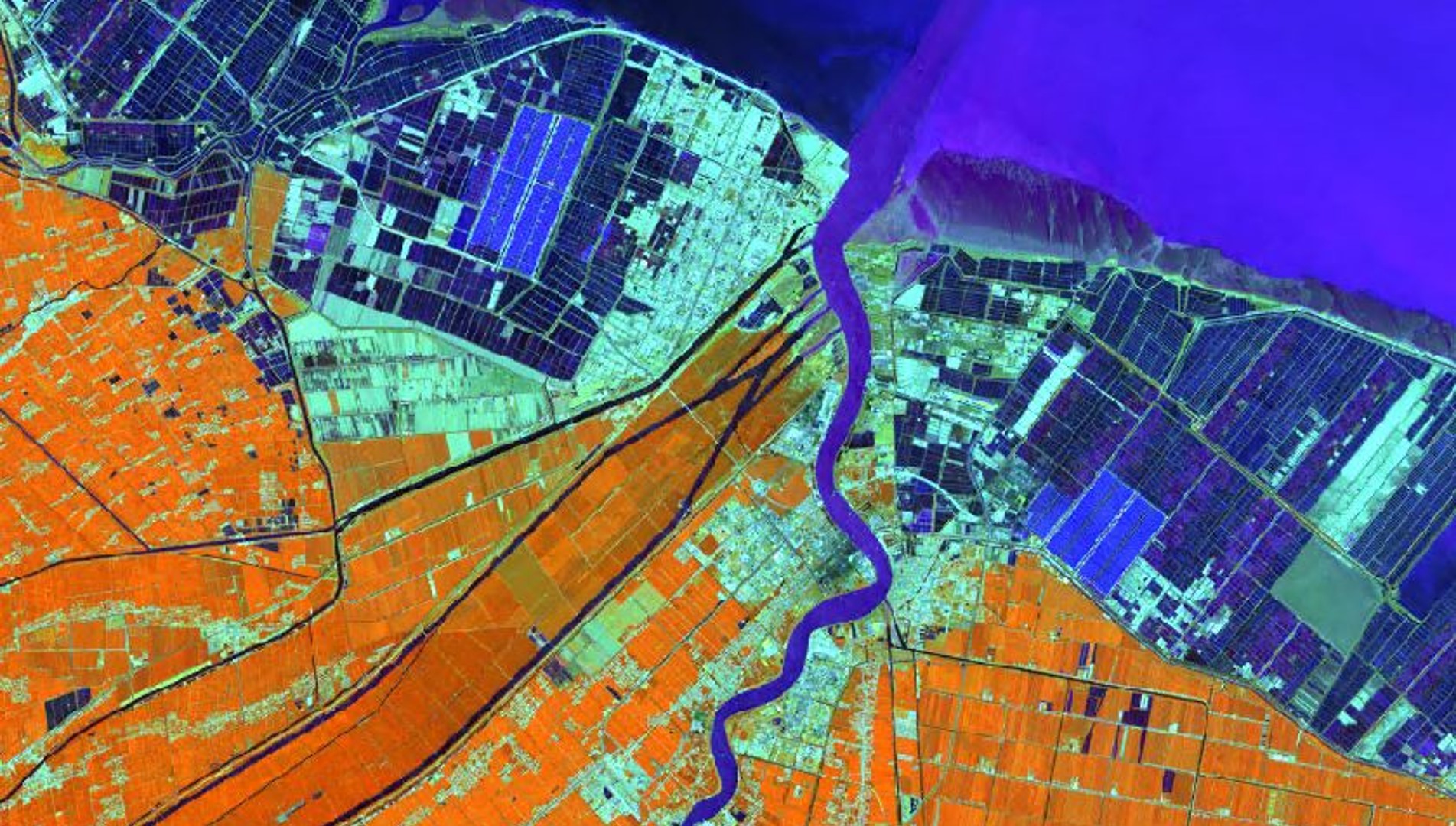
The coastal mapping pond aquaculture project at Clark Labs in partnership with the Gordon and Betty Moore Foundation is a long-term project focusing on classifying land cover of coastal regions across the world. We utilized TerrSet and machine learning classification techniques to produce maps showing pond aquaculture, mangrove, other wetland types, and water. On this research team, I contributed to classifying scenes for the years 1999, 2014, and 2018 in China and Brazil.
Project Link to Clark Labs Website
Please feel free to contact me through my LinkedIn Account below.